Big Walk Map Room & Paper Maps
How Big Walk expects you to navigate—without a pulsing quest marker telling you where to stand.
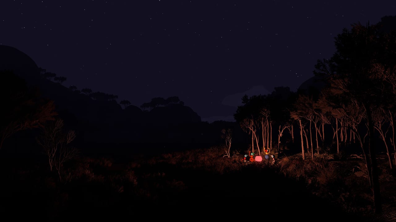
Big Walk refuses the modern comfort of a permanent mini-map pin. Orientation is a social skill: someone studies the map room, someone carries a paper map, someone watches ridgelines, and someone else launches a flare when the plan collapses. This guide explains how map tools fit the communication fantasy so your party stops arguing about which creek is “the obvious one.”
Pair this page with Map Hub, Landmarks, and Signaling Tools before a long split-path day.
Why there is no GPS babysitter
House House built navigation into the joke and the challenge. If everyone always knew exact coordinates, proximity chat, binoculars, and landmarks would matter less. Version 1.0 expects groups to:
- Read the environment
- Agree on named meeting points
- Accept getting gloriously lost—then recovering together
That design is why Discord global voice feels like cheating and why paper information still matters mid-hike.
The map room habit
Early sessions often include a shared map room or overview space where the island’s shape becomes legible. Treat it like a pre-brief:
- Gather the whole party before scattering.
- Point at coasts, peaks, and structures everyone can recognize outdoors.
- Assign a scout and a route caller so five people are not narrating conflicting headings.
- Photograph or whiteboard a crude plan if your group forgets verbal agreements—whiteboards are tools too (Tools Hub).
Returning hosts should reopen the map room after long breaks; guests who missed session one need the same visual reset.
Paper maps in the field
Paper maps (and similar portable cartography toys) let one player leave the overview room without abandoning orientation. Best practices:
- One cartographer. Too many maps create conflicting Norths.
- Call landmarks, not pixels. “Meet at the red tower ridge” beats “go left a bit.”
- Update after discoveries. When a shortcut unlocks, say it aloud and mark it if your map tool allows notes.
- Combine with binoculars. Spotters confirm whether the drawn cove matches the real shoreline.
If the cartographer disconnects, transfer the map role before the party splits again—host saves keep world progress, but human knowledge walks out with the player.
Landmarks beat coordinates
Natural and built landmarks are the real UI. Tall rocks, distinctive trees, rails, beaches, and structures become shared vocabulary. The Landmarks guide covers regroup tactics; the short version is:
| Situation | Do this |
|---|---|
| Voice fading | Climb for line-of-sight or use walkie-talkies |
| Completely lost | Flare + return to last agreed landmark |
| Split puzzle | Keep one anchor at the map-visible feature |
| Night / weather mood | Rely more on audio beacons (cowbell, megaphone) |
Sharing routes without spoilers
Big Walk’s joy includes wandering. Still, efficient groups use lightweight route language:
- Coastal loop vs ridge crossing
- Toward the train line vs inland forest
- Back to the last completed challenge gate
Avoid dumping full puzzle solutions in voice chat when newcomers want discovery—point them to Challenges for spoiler-light habits instead.
Tools that replace a mini-map
| Tool | Navigation job |
|---|---|
| Binoculars | Confirm distant landmarks |
| Laser pointer | Show a heading without walking there |
| Flare | Emergency “I am here” |
| Walkie-talkie | Relay map calls across valleys |
| Whiteboard | Sketch forks when speech fails |
| Gestures | Silent “that way” under mute puzzles |
Loadout planning belongs in the Party Prep Planner. Never send every scout out with novelty toys and zero flares.
Crossplay navigation quirks
Mixed Steam / PS5 / Switch 2 parties hear and see the same world, but typing speed differs. Console players may prefer voice landmark names; PC players may spam text coordinates that nobody else can parse. Agree on spoken landmark names in the map room before you leave.
Hosts should keep sessions paced—twelve people plus three conflicting paper maps is comedy until it wastes an hour. See Party Size.
Common failure modes
- Nobody looked at the map room and everyone invents a different island.
- Three cartographers argue while the host’s battery drains.
- Flare spam with no rally point—pretty, useless.
- Discord GPS — out-of-game voice plus shared screenshots removes the intended friction.
- Host swap mid-journey — new save, old mental map, chaos. Keep one host (Host Saves).
Session template
- Meet in the map room (or equivalent overview).
- Name tonight’s target landmark in one sentence.
- Assign cartographer, flare carrier, walkie pair.
- Walk together to the first fork; then allow controlled splits.
- Regroup on flare or landmark before starting a multi-button puzzle.
Related pages
- Map Hub — navigation overview.
- Landmarks — regroup tactics.
- Getting Started — first-hour checklist.
- Controls / Gestures — silent pointing.
- Updates Hub — if a patch ever adds UI helpers.
Master the paper map and you master Big Walk’s joke: the mountain is big on purpose, and finding each other is half the hike.
Frequently Asked Questions
Quick answers to the most common Big Walk questions.
Does Big Walk have a GPS mini-map?
No persistent quest-marker GPS. Orientation relies on map rooms, paper maps, landmarks, tools, and communication.
Who should carry the paper map?
Pick one cartographer per session so headings stay consistent. Rotate the role between hikes if you like.
What if we get separated?
Return to the last agreed landmark, use flares or walkie-talkies, and avoid inventing a new rally point mid-panic.
Should we use Discord map screenshots?
You can, but it bypasses intended navigation friction. Prefer in-game maps, landmarks, and proximity chat for the designed experience.
Where do I learn landmark names?
Start in the map room together, then deepen tactics on the Landmarks guide.